
C-Res Local Buying Program
Supplier Registration Number S03732
PHCCI Award Finalist
Innovator of the Year 2022
Excellence in Leading with Innovation 2025
Case Study 1
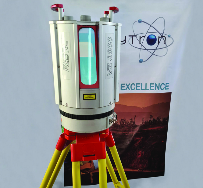
High-Precision LiDAR Survey and GIS Data Capture
EnergyTron successfully completed detailed LiDAR field surveys and data capture spanning over 5,300 km of overhead lines, power poles, and associated infrastructure for a major electrical utility. Using high-precision satellite mapping combined with advanced AI and machine learning, our team converted raw survey data into detailed mapping layers. The data was uploaded directly to the GIS server via synchronized field device apps, ensuring accuracy and real-time availability for analysis.
Managed by a dedicated team of professionals, the collected and processed data provided a critical foundation for advanced network planning, asset management, and future modernization projects across the region. GIS experts at EnergyTron analyzed the datasets to generate actionable insights, enabling the client to optimize operations, plan upgrades efficiently, and support long-term infrastructure development with a high degree of confidence.
- Category: Survey & GIS
- Client: BREB
- Year: 2024
- Project Manning: 55